Note: Prices may fluctuate as sellers adjust them regularly. You'll see the latest price at final checkout.
Add to wishlistAdded to wishlistRemoved from wishlist0
Add to compare
Product Details
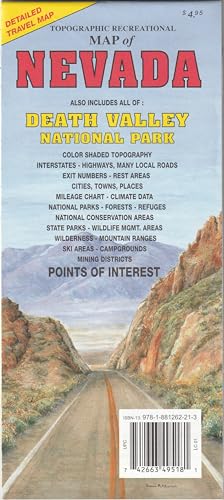
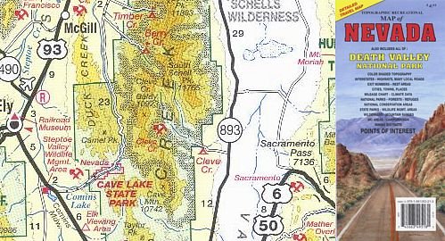
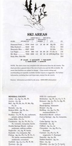
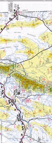
[gallery] Topographic Recreational Map of Nevada -- Also Includes All of Death Valley National Park is a detailed travel map including Interstates, most exit numbers, highways, and many (not all) local roads; topographic contours each 1,000 feet; and color shaded each 2,000 feet above 6,000 feet. Features include national forests, wilderness, campgrounds, parks, national conservation areas, wildlife refuges, state wildlife management areas, ski areas, mining districts, points of interest, and more. Two-sided, self-cover, paper folded map. [amz_corss_sell asin="1881262219"]